Excursions
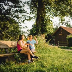
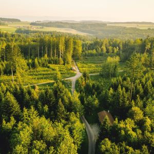
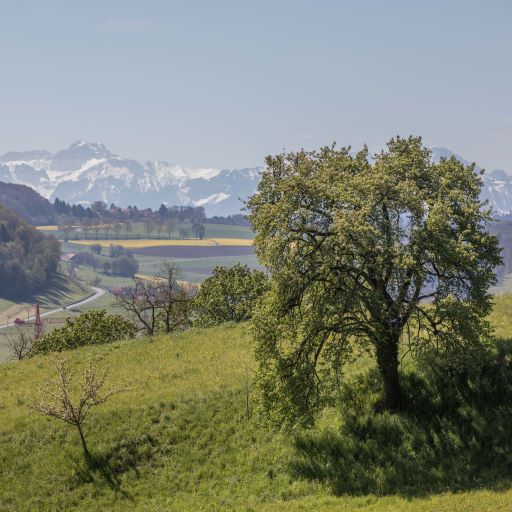
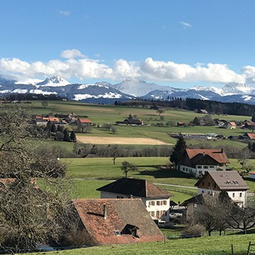
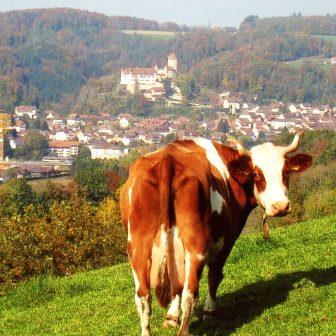
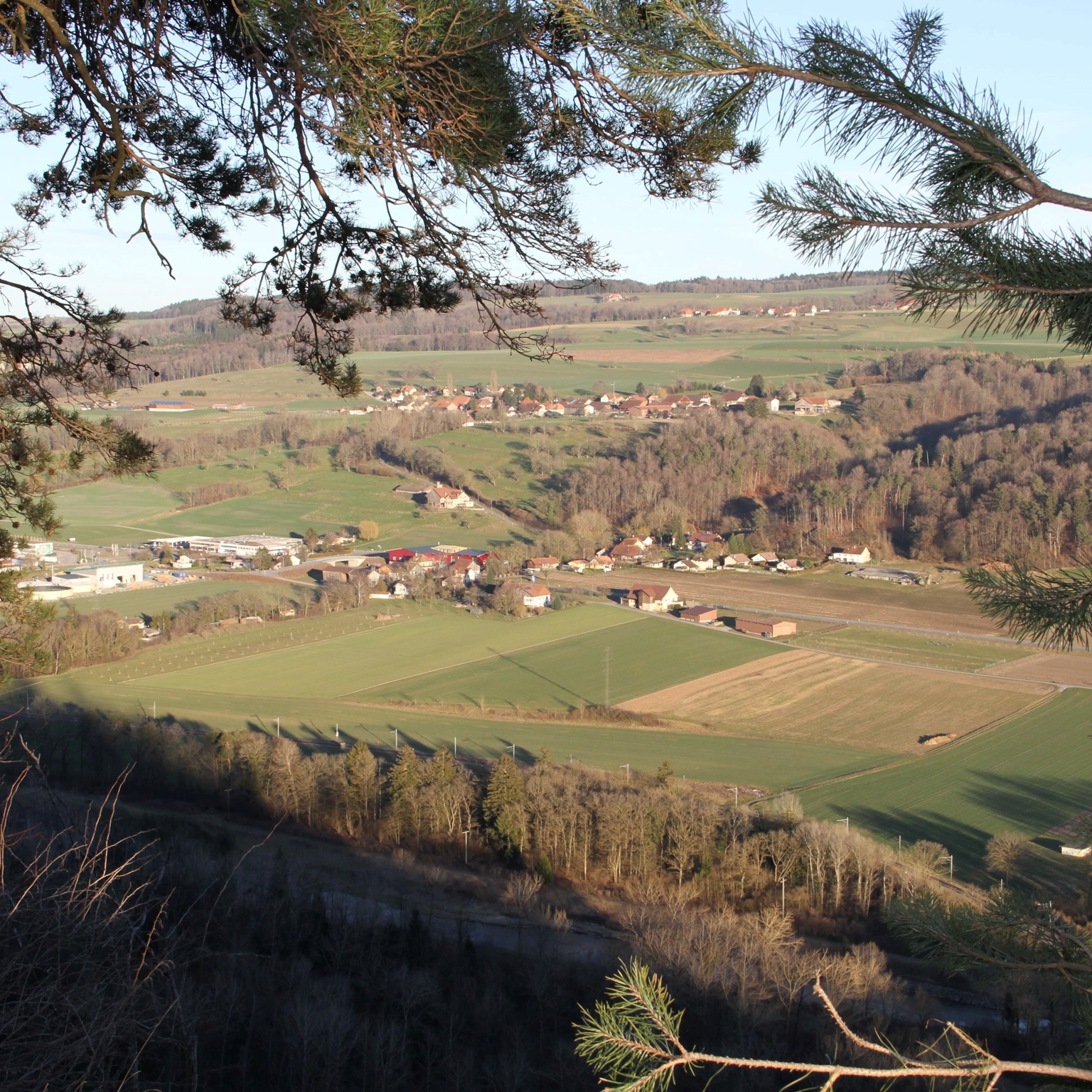
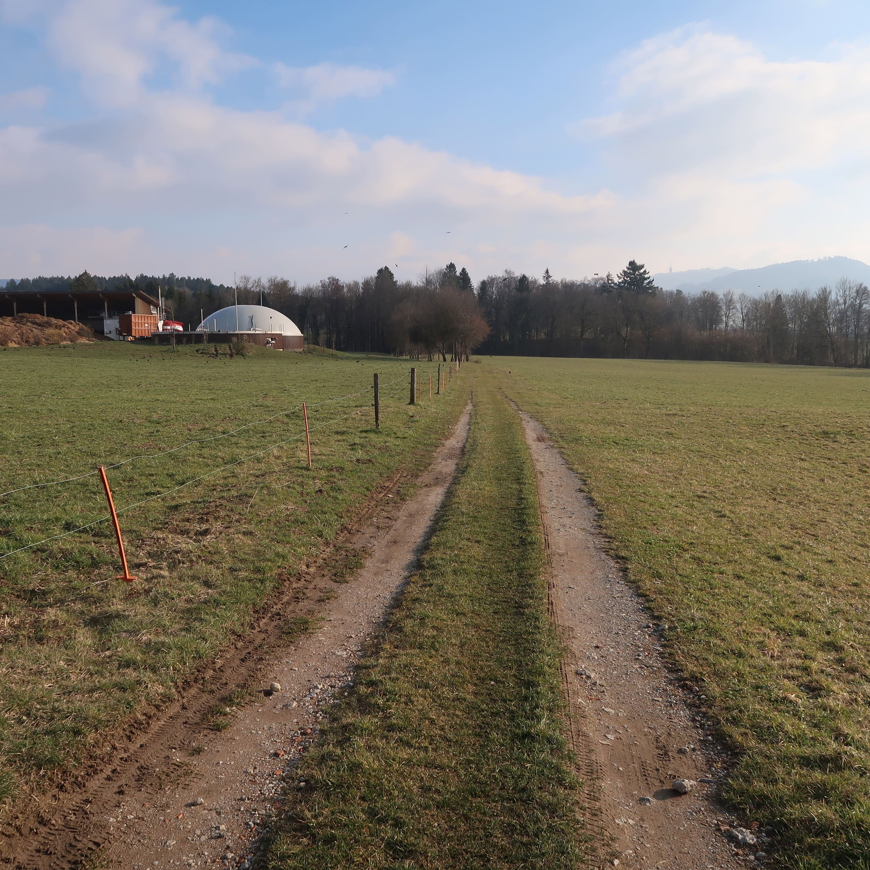
From the Jorat plateau to the Broye valley, picturesque villages and lovely Vaud style farms dot a partially-wooded landscape, offering surprising panoramic views of the Pre-Alps or the Jura. Situated right in the heart of the Vaud countryside, our area offers numerous possibilities for walks; discover it on foot, on donkey back or in a carriage.
Moudon-Express
(Moudon • Parc aux biches • Moudon)
- Distance : 1,4Km or 1,8Km
- Length : 40 min or 60 min
- Start : Moudon, Station
- End : Moudon, Station
- Difficulty :
- Height difference : +10m
More infos »
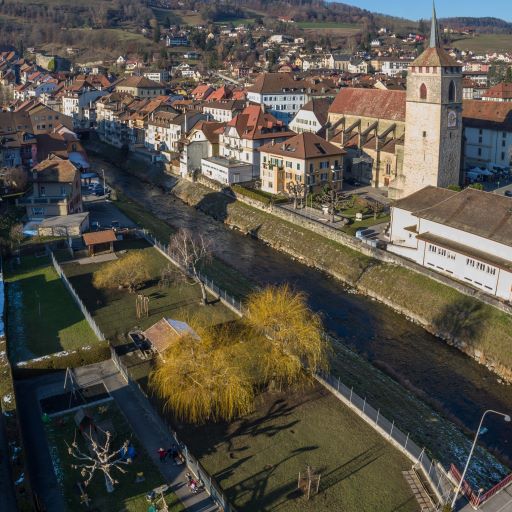
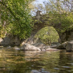
Discover the charm of the town of Moudon, its small green parks and its various bridges. This walk is ideal for families (with or without prams), people with reduced mobility or in wheelchairs. If you’re lucky, you may observe some beautiful birds swimming in the Broye.
Some like it cool
(Moudon • Piscine de Moudon • Bressonnaz • Moudon)
- Distance : 5,5Km
- Length : 1h30 to 3h00
- Start : Moudon, Vallon Park
- End : Moudon, Vallon Park
- Difficulty :
- Height difference : +40m
More infos »
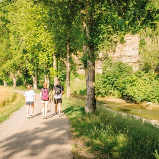
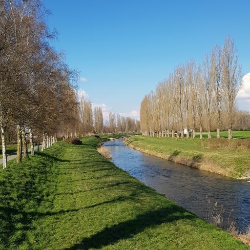
This walk will take you on an expedition of beautiful landscapes at the gates of the city. A peaceful stroll along the Broye will allow you to contemplate the famous molasse cliffs and observe various kinds of birds such as herons, ducks and sparrows. This walk is ideal for families (with or without prams), people with reduced mobility or in wheelchairs.
The Uptown
(Moudon • Uptown • Broye • Moudon)
- Distance : 2,5Km
- Length : 45 min
- Start : Moudon, Station
- End : Moudon, Station
- Difficulty :
- Height difference : +40m
More infos »
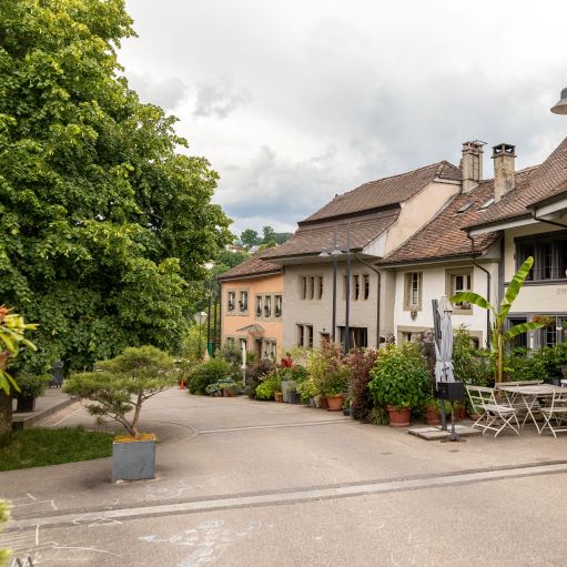
Discover the charm of the town of Moudon on this walk which takes you past the magnificent houses of the Ville-Haute, its museums and the banks of the river Broye. This walk is ideal for people who want to make a short visit to the town. It is accessible to the whole family (with or without prams), as well as to people with reduced mobility or in wheelchairs.
N°01 Along the waterway
(Moudon • Chavannes-sur-Moudon • Bressonnaz • Moudon's outdoor pool • Moudon)
- Distance : 8Km
- Length : 2h45
- Start : Moudon, Train station
- End : Moudon, Train station
- Difficulty :
- Height difference : +170m
More infos »
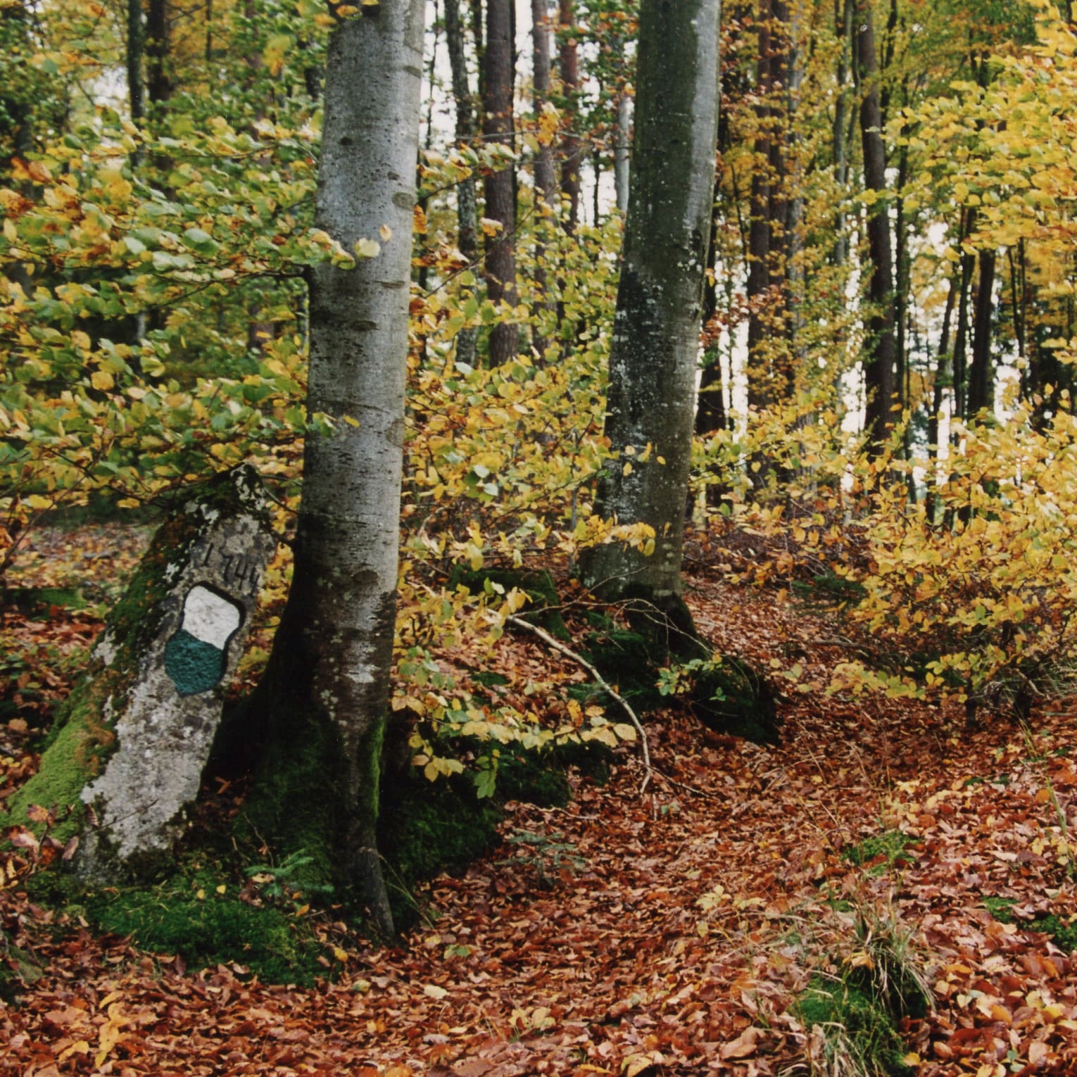
Discover the charm of the Moudon countryside on this signposted walk. From leafy forests to picturesque villages, there is no shortage of attractions. Then return to the valley as far as Moudon, following the banks of the river Broye, a refuge for wildlife.
N°02 Beauregard
(Moudon • Carrouge castle • Péquinsin natural forest Reserve • Beauregard refuge • Vaux Wood • Moudon)
- Distance : 12 km
- Length : 4h25
- Start : Moudon, Train station
- End : Moudon, Train station
- Difficulty :
- Height difference : +360m
More infos »
On the heights of Moudon, Beauregard lives up to its name, offering a marvellous panorama of the Pre-Alps, the Alps and the surrounding countryside. A hike that starts through the town of Moudon and reaches the Péquinsin natural reserve in about 30 minutes. A change of scenery.
N°03 The 6 bridges
(Ropraz • Hermenches (Chapel) • La Râpe • Vucherens • Ropraz)
- Distance : 12.5 km
- Length : 4h25
- Start : Ropraz car park
- End : Ropraz car park
- Difficulty :
- Height difference : +270m
More infos »
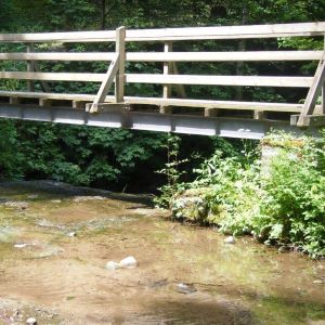
Between the Jorat and the Broye, this loop takes you to discover small forest bridges. Six times you cross the wild waters of the Bressonne and then the Corcelles and Méleries. A beautiful walk in the middle of nature, made up of small ascents and descents interspersed with memorable panoramas of the Pre-Alps and the Alps.
N°04 Hiking through nature
(Moudon • Carrouge castle • Péquinsin natural forest Reserve • Vaux Woods • Rossenges • Bressonnaz • Moudon)
- Distance : 12 km
- Length : 4h15
- Start : Moudon, Train station
- End : Moudon, Train station
- Difficulty :
- Height difference : +250m
More infos »
An all-terrain hike will take you from "Vieux Moudon" to the forest and, after a nice walk of less than 3 hours, to the villages of L'Abbaye and Rossenges. The second, more leisurely, part of the walk takes you through the fields to Bressonnaz, then along the Broye to Moudon.
N°05 Jorat hike
(Syens • Hermenches • La Râpe • Seppey • Syens)
- Distance : 12.5 km
- Length : 4h30
- Start : Syens village
- End : Syens village
- Difficulty :
- Height difference : +320
More infos »
Under the sign of water, this hike invites you to explore the wooded slopes of the Jorat, its rivers and waterfalls. A very natural itinerary of a dozen kilometres which takes you to discover the two tributaries of the Broye, the Bressonne and the Carrouge.
N°06 The Three Rivers
(Moudon • Carrouge castle • Bressonnaz • Seppey • La Râpe • Hermenches • Syens • Bressonnaz • Moudon)
- Distance : 20 Km
- Length : 6h35
- Start : Gare de Moudon
- End : Gare de Moudon
- Difficulty :
- Height difference : +460m
More infos »
In the heart of the Vaud countryside, where the Jorat plateau meets the Broye valley, this itinerary takes you on a discovery of three rivers that have shaped the geography and communication routes of the Moudon region over the centuries: the Broye, the Carrouge and the Bressonne.
N°07 From the Land to the Artist
(Carrouge • Viewpoint called ''La Croix'' • Ropraz • La Râpette • Les Vaux • Carrouge)
- Distance : 12Km
- Length : 3h10
- Start : Carrouge, house of Gustave Roud
- End : Carrouge, house of Gustave Roud
- Difficulty :
- Height difference : +289m
More infos »
Focus on the Jorat and its typical rural landscapes, between fields, country roads, villages and forests. This 12-kilometre walk takes us successively in the footsteps of the poet Gustave Roud, whose Carrouge farm is located at the beginning of the itinerary, and of the writer Jacques Chessex, who was well known under the name of Ropraz.
N°08 At the Horizon
(Vucherens • Seppey • Vulliens • Mézières • Vucherens)
- Distance : 14km
- Length : 4h25
- Start : Vucherens, chapelle
- End : Vucherens, chapelle
- Difficulty :
- Height difference : +260m
More infos »
Starting from Vucherens, this very beautiful hike takes us to new heights! Not because of its difference of altitude, which is accessible to most people (+260m), but because of the majestic views it offers of the surrounding villages, the Pre-Alps and the Alps. Escape guaranteed.
N°09 Lucens in an “8” loop
(Lucens • Cremin • Château de Lucens • Musée Sherlock Holmes • Refuge Les Envers • Ponty • Lucens)
- Distance : 11km
- Length : 4h00
- Start : Lucens
- End : Lucens
- Difficulty :
- Height difference : 250m
More infos »
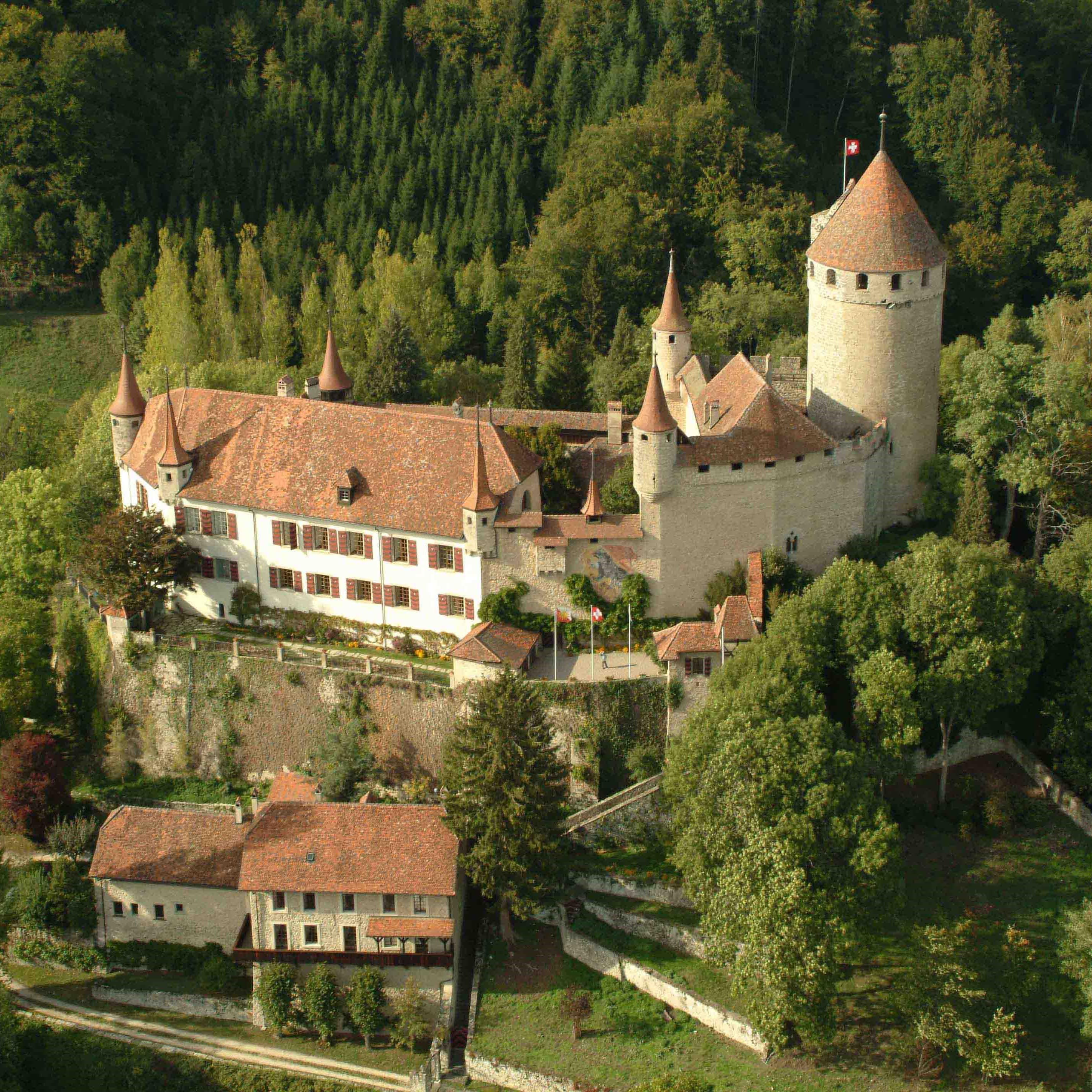
Lucens in an "8" loop refers to the shape of the trail, composed of two loops that take us first to the village of Cremin, then back to Lucens and its superb gothic and Bernese style castle, and finally between fields and forests to the second part of the loop, west of the village.
N°10 Through mountains and valleys
(Moudon • Bressonnaz • Seppey • Vulliens • Ecublens • Promasens • Chapelle • Oron-le-Châtel)
- Distance : 15,5km
- Length : 4h45
- Start : Moudon
- End : Oron-le-Châtel
- Difficulty :
- Height difference : 450m
More infos »
A hike offering a journey between the cantons of Vaud and Fribourg, through the hilly landscapes of the rivers Broye and Glâne. Enjoy the freshness of the Broye valley, the forests of the plain and the majestic panoramas of the Pre-Alps and the Alps.
N°11 The Broye
(Neyruz-sur-Moudon • Le Planchy • Villars-le-Comte • Forel-sur-Lucens • Cremin • Lucens)
- Distance : 15.5km
- Length : 4h45
- Start : Neyruz-sur-Moudon
- End : Lucens
- Difficulty :
- Height difference : 150m
More infos »
A walk in the heart of the hilly Vaud countryside, with its typical small villages and churches. The panorama stretches from the Jura to the Alps and promises a beautiful spectacle. On arrival in Lucens, the castle overlooking the village is worth a look.
Praz Callaz
(Lucens • Sentier des Chèvres )
- Distance : 6.5Km
- Length : 1h30
- Start : Lucens
- End : Lucens
- Difficulty :
- Height difference : 206m
More infos »
Green circuit. Through fields and forests, admire the view of the Pre-Alps and the Alps as well as the surrounding villages.
Bois de l'Hôpital
(Lucens • Cerjaulaz • Lucens)
- Distance : 5Km
- Length : 1h30
- Start : Lucens
- End : Lucens
- Difficulty :
- Height difference : 187m
More infos »
Purple circuit. Start from Lucens. On the heights of Lucens, let yourself be charmed by the surrounding forest. This hike is equipped for mountain bike as it runs alongside the official course with its obstacles. Several benches on the course.
Curtilles
(Curtilles)
- Distance : 6Km
- Length : 1h30
- Start : Lucens
- End : Lucens
- Difficulty :
- Height difference : 112m
More infos »
Red circuit. This trail winds through the countryside overlooking the village of Lucens. You get a magnificent view of the castle as well as the beautiful church of Curtilles.
Adventure Hike
(Sentier Aventure)
- Distance : 7.5Km
- Length : 2h00
- Start : Lucens
- End : Lucens
- Difficulty :
- Height difference : 265m
More infos »
Yellow circuit. Departure from Lucens. Through forests, fields and the village, take advantage of the opportunity to escape to the heights of Lucens. Several benches and picnic spots welcome you along the way.
Oulens
(Lucens • Oulens • Lucens)
- Distance : 5Km
- Length : 1h30
- Start : Lucens
- End : Lucens
- Difficulty :
- Height difference : 238m
More infos »
Black circuit. Start from Lucens. Relax in the beautiful forest above Lucens, the Vaux valley and the Bois à Ban. Freshness and humidity await you along the Cerjaulaz.
Trail N°1 - Les Berges
(Granges-Marnand • Le Pont sur la Broye • La passerelle des Îles • Granges-Marnand)
- Distance : 10,85Km
- Length : 2h30
- Start : Granges-Marnand
- End : Granges-Marnand
- Difficulty :
More infos »
An excursion for the whole family is the beautiful and quiet walk along the Broye, revealing various points of interest. Part of the trail is accessible for pushchairs.
Walk proposed by the community of Valbroye.
Trail N°2 - La Pierre à Sapenard
(Granges-Marnand • Les Moulins de Granges • La plaine de Brit • Le pont sur la Lembe • Granges-Marnand)
- Distance : 7,15Km
- Length : 1h50
- Start : Granges-Marnand
- End : Granges-Marnand
- Difficulty :
- Height difference : +142m
More infos »
Conquering the stone in Sapenard! This trail takes you through the forest or along the river Broye. You’ll discover beautiful landscapes, one more stunning than the other. The path is not suitable for pushchairs.
Trail N°3 - le Château de Surpierre
(Granges-près-Marnand • Surpierre • Cheiry • Granges-près-Marnand)
- Distance : 9Km
- Length : 2h10
- Start : Granges-près-Marnand
- End : Granges-près-Marnand
- Difficulty :
- Height difference : 228m
More infos »
Take a walk along the banks of the Broye to discover the castle of Surpierre plus a magnificent view across the fields and forest. The path is not suitable for pushchairs.
Walk proposed by the community of Valbroye.
Trail N°4 - Le Chemin des Corvets
(Granges-près-Marnand • Villarzel •Marnand • Granges-près-Marnand)
- Distance : 8Km
- Length : 2h10
- Start : Granges-près-Marnand
- End : Granges-près-Marnand
- Difficulty :
- Height difference : 285m
More infos »
This splendid trail starts at the railway station in Granges-Marnand, continues to the village of Villarzel, passing through Marnand, before it returns to its starting point. A landscape suitable for hikers who like nature as well as a challenge! The trail is not suitable for pushchairs.
Walk proposed by the community of Valbroye.
Grand Tour of the Community of Oron
(Oron-la-Ville •Chesalles •Bussigny • Ecoteaux •Palézieux-Gare • Les Thioleyres • Les Tavernes • Châtillens • Oron-la-Ville)
- Distance : 25,5 km
- Length : 6h20
- Start : Oron-la-Ville
- End : Oron-la-Ville
- Difficulty :
- Height difference : +436
More infos »
Discover the 10 villages rich in heritage belonging to the community of Oron, its history and its landscapes, thanks to the itineraries of varying length proposed by the municipality.
East Tour of the community of Oron
(Oron-la-Ville • Chesalles • Bussigny • Ecoteaux • Palézieux-Gare • Palézieux-Village • Oron-la-Ville)
- Distance : 15km
- Length : 3h45
- Start : Oron-la-Ville
- End : Oron-la-Ville
- Difficulty :
- Height difference : +268m
More infos »
Explore the community of Oron, its history and its landscapes thanks to the itineraries proposed by the municipality. These trails of varying length take you through some villages rich in heritage.
Northeast Tour of the community of Oron
(Oron • Chesalles • Bussigny • Palézieux-Village • Oron)
- Distance : 12km
- Length : 3h00
- Start : Oron-la-Ville
- End : Oron-la-Ville
- Difficulty :
- Height difference : 231m
More infos »
Discover the community of Oron, its history and its landscapes, thanks to the itineraries proposed by the municipality. These loop walks of varying length will take you around many villages rich in heritage.
Northwest Tour of the community of Oron
(Oron • Châtillens • Les Tavernes • Palézieux-Village • Oron)
- Distance : 13km
- Length : 3h20
- Start : Oron-la-Ville
- End : Oron-la-Ville
- Difficulty :
- Height difference : 211m
More infos »
Discover the community of Oron, its history and its landscapes, thanks to the itineraries proposed by the municipality. These loop trails of varying length will take you around several villages rich in heritage.
West Tour of the community of Oron
(Oron-la-Ville • Palézieux • Les Thioleyres • Les Tavernes • Châtillens • Oron-la-Ville)
- Distance : 16km
- Length : 3h55
- Start : Oron-la-Ville
- End : Oron-la-Ville
- Difficulty :
- Height difference : +213m
More infos »
Discover the community of Oron, its history and its landscapes, thanks to the itineraries proposed by the municipality. These loop walks of varying length will take you around many villages rich in heritage.
Southeast Tour of the community of Oron
(Palézieux-Village • Les Indévis • Ecoteaux • Palézieux-Gare • Palézieux-Village )
- Distance : 9,5km
- Length : 2h20
- Start : Palézieux-Village
- End : Palézieux-Village
- Difficulty :
- Height difference : 184m
More infos »
Discover the Commune of Oron, its history and its landscapes, thanks to the itineraries proposed by the municipality. Several loop trails of varying length will take you to villages rich in heritage.
Southwest Tour of the community of Oron
(Palézieux-Village • Les Tavernes • Les Thioleyres • Palézieux-Village)
- Distance : 8km
- Length : 2h00
- Start : Palézieux-Village
- End : Palézieux-Village
- Difficulty :
- Height difference : 144
More infos »
Discover the community of Oron, its history and its landscapes, thanks to the itineraries proposed by the municipality. These loop trails of varying length will take you around several villages rich in heritage.
